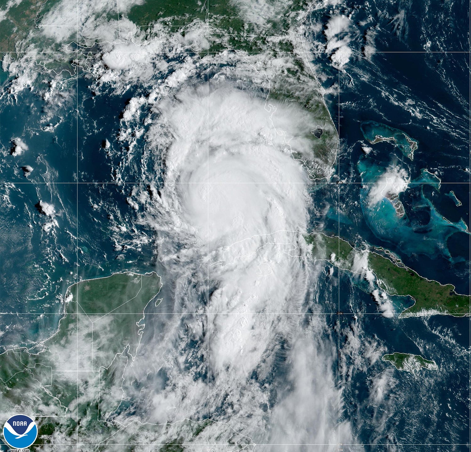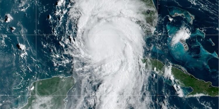
The ingredients are coming together for Florida to once again be hit by major hurricane less than a year after Hurricane Ian caused widespread damage across the state. Hurricane Idalia is moving into the Gulf of Mexico, where widespread ocean warmth is expected to cause it to rapidly intensify into a major hurricane (defined as a Category 3 or higher storm) before slamming into the state’s Gulf Coast. Idalia is predicted to bring a substantial storm surge, winds and flood-inducing rains to Florida and other parts of the Southeast.
It is the latest storm in a hurricane season that went from quiet to busy in a matter of days: There were only four named storms for the first two and a half months of the season, but there have been five just since Tropical Storm Emily formed on August 20. In addition to Idalia, Hurricane Franklin is currently churning over the Atlantic as a Category 4 storm, though it will not directly hit land. (It is, however, causing dangerous surf and rip tides along the U.S. East Coast.) And Idalia isn’t the first named storm to affect the country so far this season. Tropical Storm Harold struck southern Texas with damaging winds and flooding last week, and Hurricane Hilary’s record-setting rain caused extensive flooding in California—a rare event for the state.
Idalia first formed as a tropical depression near the Yucatán Channel between Mexico and Cuba on Saturday, after which it strengthened into a tropical storm on Sunday morning and became a hurricane early on Tuesday. Like all tropical cyclones (the generic terms for tropical storms, hurricanes and typhoons, Idalia is fueled by warm ocean waters. The warm, moist air above these waters rises in a process known as convection; this creates a vacuum at the surface, allowing swirling winds to rush in.
The Gulf of Mexico’s waters are always warm in the summer. Going swimming at its beaches can feel like stepping into a bathtub, with typical temperatures around 87 to 89 degrees Fahrenheit. Tropical cyclones need waters of 80 degrees F to form and maintain their convection.
But this summer sea-surface temperatures in parts of the Gulf have reached much higher—including one reading of 100 degrees F. This kind of measurement only involves the top centimeter (0.4 inch) of the ocean at most, however, says Nick Shay, a professor or meteorology and physical oceanography at the University of Miami’s Rosenstiel School of Marine, Atmospheric, and Earth Science. Additionally, these high readings have typically occurred in very shallow areas such as those around coral reefs, which heat up much more quickly and uniformly than the deeper ocean. Although this shallow heating can be devastating for the reefs, it has less influence on storms, which depend more on deep wells of water, Shays says. That is because as storms swirl over the ocean, they cause it to churn, pulling up water from below. If that water is colder, it can kill off the convection engine that powers tropical cyclones. Yet if the deeper water is also warm, the storm has ample fuel.
And the Gulf of Mexico typically has plenty of that deep-ocean warmth. “That’s vintage Gulf of Mexico,” Shay says. And that deep heat is found over a widespread area, meaning a storm will hit the warmth wherever it goes. “It’s just a lot of energy that’s out there,” says Kim Wood, a tropical meteorologist at the University of Arizona.
That is particularly the case for Idalia, which is moving over a feature called the Loop Current—an area of warm water that travels up into the Gulf from the Caribbean (essentially the same path that Idalia is on) and that doesn’t mix much with deeper, colder waters. Hurricanes Katrina and Rita also went over the Loop Current in 2005, and it fueled their explosive development, Shay says.
The abundance of warm water, combined with a lack of the crosscutting winds that can stifle a storm, is expected to cause Idalia to rapidly intensify—a change defined as when a hurricane’s maximum sustained wind speeds jump by 35 miles per hour or more over 24 hours. Studies have shown that rapid intensification is likely to happen more often as the climate warms because of growing ocean heat that drives the process.
Rapid intensification is particularly dangerous when it happens right before a storm makes landfall—as is predicted for Idalia—because it can surprise those in harm’s way. Responding to that risk, the U.S. National Hurricane Center (NHC) is using a new forecast model this season to help better predict rapid intensification.
“Our ability to capture the potential for this kind of evolution has definitely improved,” Wood says. And the fact that the NHC is explicitly calling for rapid intensification “is a very big deal.”
Forecasters who are following Idalia are watching closely to see how soon the storm’s rapid intensification process will begin and how quickly it will progress, Wood says, because this can influence how strong and large it will be when it makes landfall. One way meteorologists are doing so is by utilizing frequent flights on hurricane-hunter aircraft to take direct measurements of the storm to chart its development.
The NHC is warning a broad swath of Florida to be prepared, particularly because very small deviations in a storm’s track can make a big difference in terms of the impacts particular areas might experience. Idalia is expected to cause a significant storm surge near its core, but affects will extend far out from that. Rain could bring flooding inland across northern Florida.
“Whatever the storm does, it’s going to be impactful,” Wood says.


